Field Support Services for Licensed Surveyors

We go and do the field work for you! From start to finish you can count on us to help you get your projects done faster. Meeting important deadlines and deliverables.

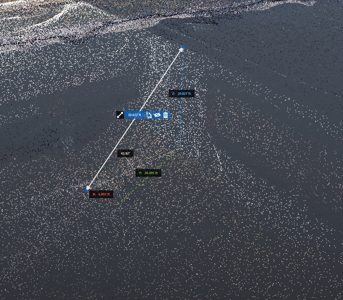
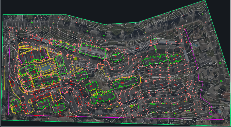
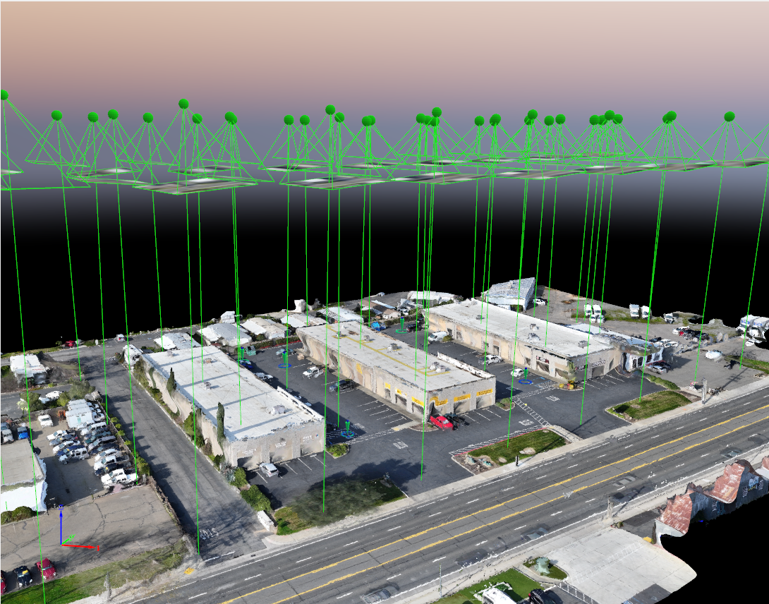
Drone Orthoimagery, Pointclouds, Surface Creation, AutoCAD Civil 3D Linework

A digital 3D point cloud map showing a terrain with measurement markers and navigation data, including distance and angle, over a textured surface.
Aerial view of a landscape with contour lines, buildings, and infrastructure, overlaid with colored lines and markings for mapping or planning purposes.
Aerial view of a commercial area with parking lots, buildings, and a road, with a 3D point cloud overlay showing the structure of the scene.

AI Powered Workflows to help automate your environment.